Hydraulic Modeling
Since the firm’s inception in 1992, Tata & Howard has remained a niche firm with deep experience and expertise in the water environment, and has provided hydraulic modeling services for countless municipalities throughout New England. Tata & Howard has one of the largest pipe asset management databases of any consulting engineering firm in New England. In fact, we have data on over 5,000 miles of New England pipe, providing utilities with critical information about their systems such as condition and probability of failure of certain pipe cohorts.
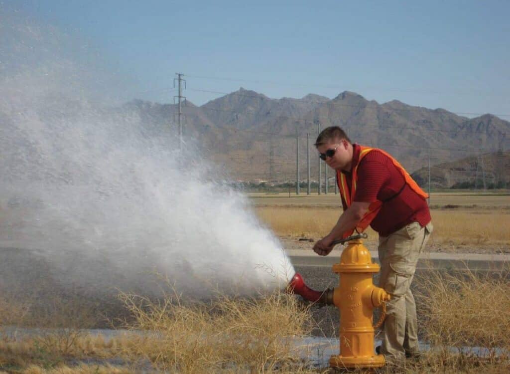
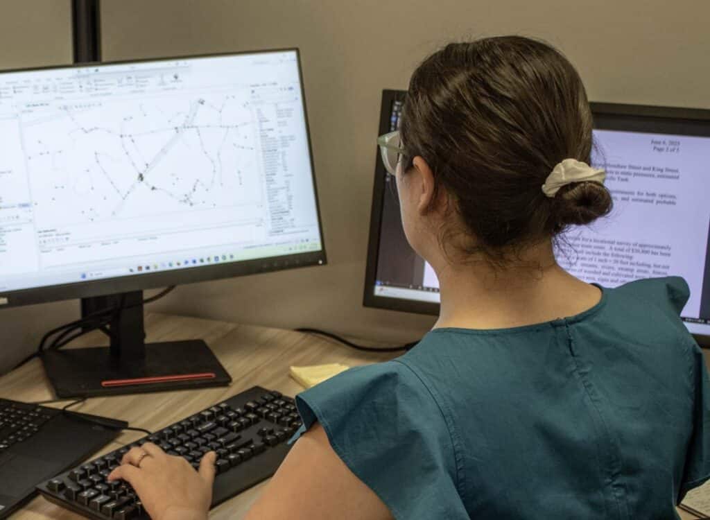
Tata & Howard utilizes various hydraulic modeling programs such as WaterGEMS, InfoWater, InfoSewer, HydroCad and US EPA Storm Water Management Model (SWMM). Every water and wastewater system needs a long range plan. Through the performance of hydraulic modeling, a staged program of improvements is developed for the client. Additionally, a calibrated computer hydraulic model of the system allows for review of potential impacts of proposed developments in the service area. The report, when successfully followed, provides a blueprint of prioritized improvements for our clients.


GIS
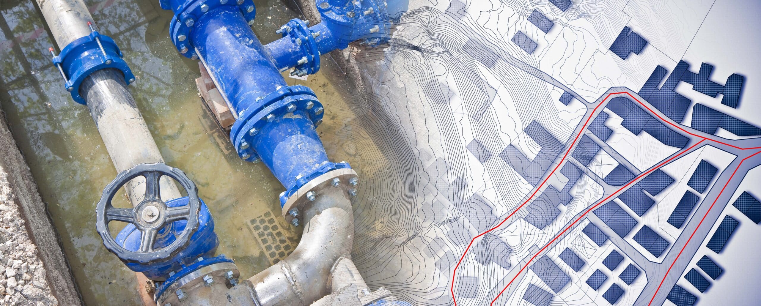
Our team offers in-house Geographic Information System (GIS) capabilities, using ArcGIS and other software to analyze and graphically represent the collected data. ArcGIS can be used hand-in-hand with our in-house Global Positioning System (GPS) device to map system elements such as hydrants, stormwater outfalls, or sewer manholes. In turn, the data can be used to create or update system maps, or hydraulic models.

